Covid—19. A Recovery Study.
When disruption reshapes, measure the change.
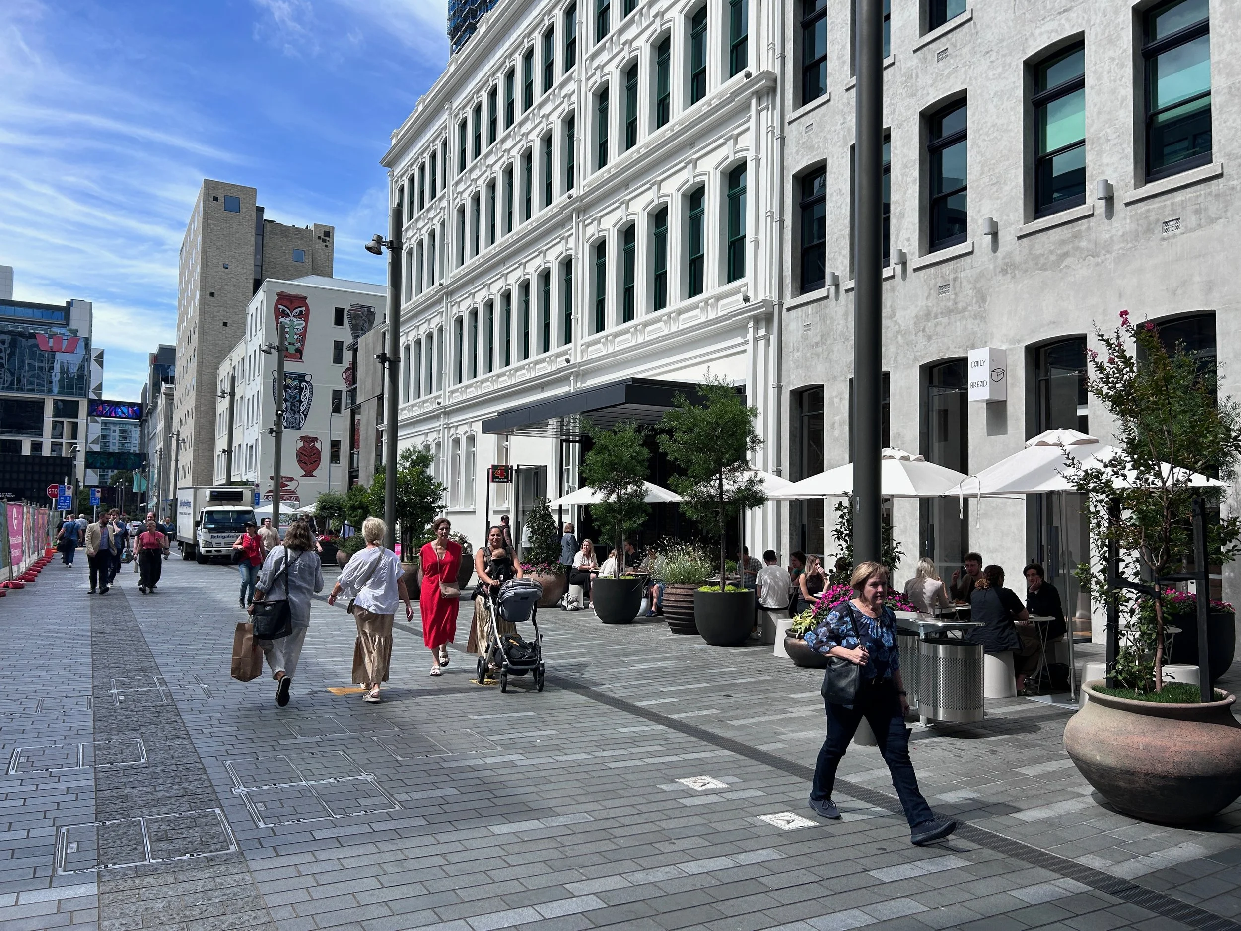
Post-lockdown conditions created visible change in towns and cities across Aotearoa New Zealand. The road back for many has been fraught and assumptions aren't enough. This study explores where recovery was truly happening, and why?
What we measured.
A targeted street-level data programme combined pedestrian observations with desktop analysis of land use and street conditions.
We captured:
Pedestrian volumes
Dwell time and activity
Age and gender mix
Spatial and temporal patterns
Street and amenity conditions
This moved the conversation beyond anecdote to measurable, location-specific evidence.
What the data revealed.
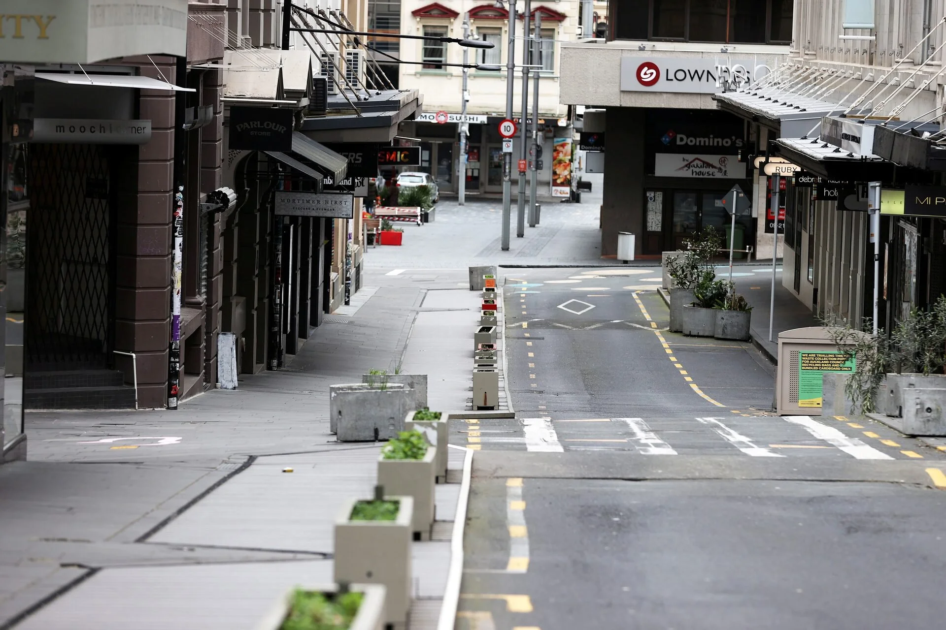
Recovery was 40% below pre-pandemic levels — and highly uneven.
Activity concentrated in a small number of streets, leaving others persistently quiet.
Lower foot traffic affected both vibrancy and perceived safety.
Reduced natural surveillance reinforced behavioural caution.
Weekend and leisure activity rebounded faster than weekday office patterns.
This signalled structural change, not short-term fluctuation.
High-amenity streets recovered first.
Place quality and active frontages aligned with stronger trading conditions.
Why it mattered.
Granular street-level data identified:
Where to prioritise public realm upgrades
Where activation would generate spillover effects
Where investment would have the greatest return
The lessons are transferable to any urban centre navigating disruption, decline, or transition.