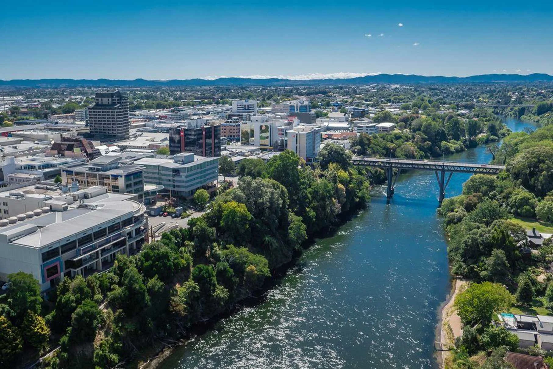
Mapping the Urban Realm in Kirikiriroa Hamilton
Quantify the city. Understand the trade-offs. Plan with confidence.
A structured spatial analysis was undertaken to quantify how land in Hamilton City Centre is currently allocated to buildings, movement, parking, and public open space. The study established a measurable baseline to guide future investment, redevelopment, and public realm improvements.
What we measured.
A desktop-based analysis classified all land within the city centre boundary into consistent categories using cadastral and aerial data.
Captured:
Private parcels (buildings and private land) · Carriageways · Public parking · Footpaths · Open space
This approach created a replicable dataset that allows future changes to be tracked and compared — locally and nationally.
What the data revealed.
City centre dominated by private land and vehicle space
69% of land is private parcels, with 15% carriageways and 5% parking.
Limited open space
Only 2% of the centre is dedicated civic or public space, highlighting constraints for pedestrian and leisure activity.
Footpath coverage is mid-range
Pedestrian infrastructure is mostly street-edge rather than large civic areas.
Relative to peer cities
Hamilton has lower open space than waterfront centres like Auckland or Wellington, and higher land allocation to movement and parking than compact, pedestrian-focused centres.
Spatial trade-offs are measurable
Small reallocations of carriageway or parking could produce significant proportional changes in available public space.
Why it mattered.
Structured spatial data provides:
• A clear baseline to measure future street, public space, or redevelopment interventions in an ever-evolving urban centre
• Comparative context with other New Zealand city centres
• Evidence to inform trade-offs and scenario testing for transport, development, and public realm priorities
• A foundation for long-term monitoring, ensuring changes are measured, not assumed